
Huber Heights ZIP Code Coverage
Huber Heights has a primary municipal mailing pattern and a northern postal exception. The City uses 45424 on City Hall, court, school, and many other municipal materials. It also confirms that City residents in the Miami County portion, including Carriage Trails, Parktown, and the firehouse area north of I-70, can receive a Tipp City mailing address. The table identifies documented mailing relationships, not legal municipal or county boundaries.
| ZIP Code | Areas covered | Postal designation | Local record note |
|---|---|---|---|
| 45424 | Primary Huber Heights mailing community | Dayton 45424 postal listing | Used by City Hall, court, schools, and water mail addresses. |
| 45371 | Carriage Trails, Parktown, and firehouse area north of I-70 in Miami County | Tipp City mailing area | A Huber Heights municipal address can have a Tipp City delivery label. |
| Nearby postal routes | Boundary-adjacent areas | Dayton, Riverside, New Carlisle, or Tipp City labels may appear nearby | A mailing city does not prove City or county situs. |
USPS routes mail; it does not set a city limit, a court boundary, or a parcel's county. No complete official address-by-address postal boundary map or local realignment date was located, so a specific address still needs live verification.
45424 in Huber Heights
45424 is the primary Huber Heights mailing ZIP shown on City addresses. It is a strong starting point for mail, municipal contact details, and a full-address USPS check. It is not a shortcut to a complete list of households, a parcel owner, or the county that holds every related record. The practical rule is simple: retain the delivery label, then look for the parcel identifier and legal description.
That distinction matters because postal geography and government records answer different questions. A city document may use the Huber Heights label while the needed tax, deed, or court question is governed by the situs county. The parcel and its legal description are the more durable research keys when names, development boundaries, or delivery labels do not line up.
City Hall at 6151 Brandt Pike and the municipal court use the 45424 city label, which makes it a dependable starting reference for City material. It still does not decide whether a particular property belongs in Montgomery or Miami County systems. Preserve the full street address, parcel identifier, and legal description before moving beyond postal confirmation.
45371 and Huber Heights
45371 is the documented Tipp City mailing area for Huber Heights locations in the Miami County portion of the City. Miami County's 2024 plan describes approximately 296 acres annexed to Huber Heights in Bethel Township and ongoing Carriage Trails growth. That geography explains why an address can be inside Huber Heights while its delivery label and county research route point toward Tipp City and Miami County.
Do not carry a Montgomery County result across that line. First identify the parcel in the Miami Auditor system, then use the Miami Recorder where deed or plat research is needed. The City address still matters for City zoning, permit, Council, and other municipal material, but those records do not replace the county land record.
Note: A nearby-city mailing designation is delivery evidence, not proof that the address lies inside that neighboring city or county.
Verify Huber Heights ZIP Codes
Use the USPS ZIP lookup with the complete current address, including an apartment or unit when applicable. The USPS City/State and postal-to-city routes are useful checks, but the full-address result is the best way to test a disputed delivery label. Preserve the returned city spelling and ZIP as postal evidence only. It does not identify a resident, owner, precinct, or court division.
- Enter the complete address in USPS and record the delivery result, including any unit detail.
- Use the county Auditor or GIS route to find the parcel, situs county, and legal description.
- For a Montgomery parcel, search the number and bare street name. For a Miami historical search, begin with a party, book and page, or geographic-index clue when needed.
- Send tax, Recorder, voter, court, and deed questions to the county selected by the parcel, not by the postal city alone.
The USPS City/State lookup is pictured below as the postal entry point for the Huber Heights ZIP code directory.
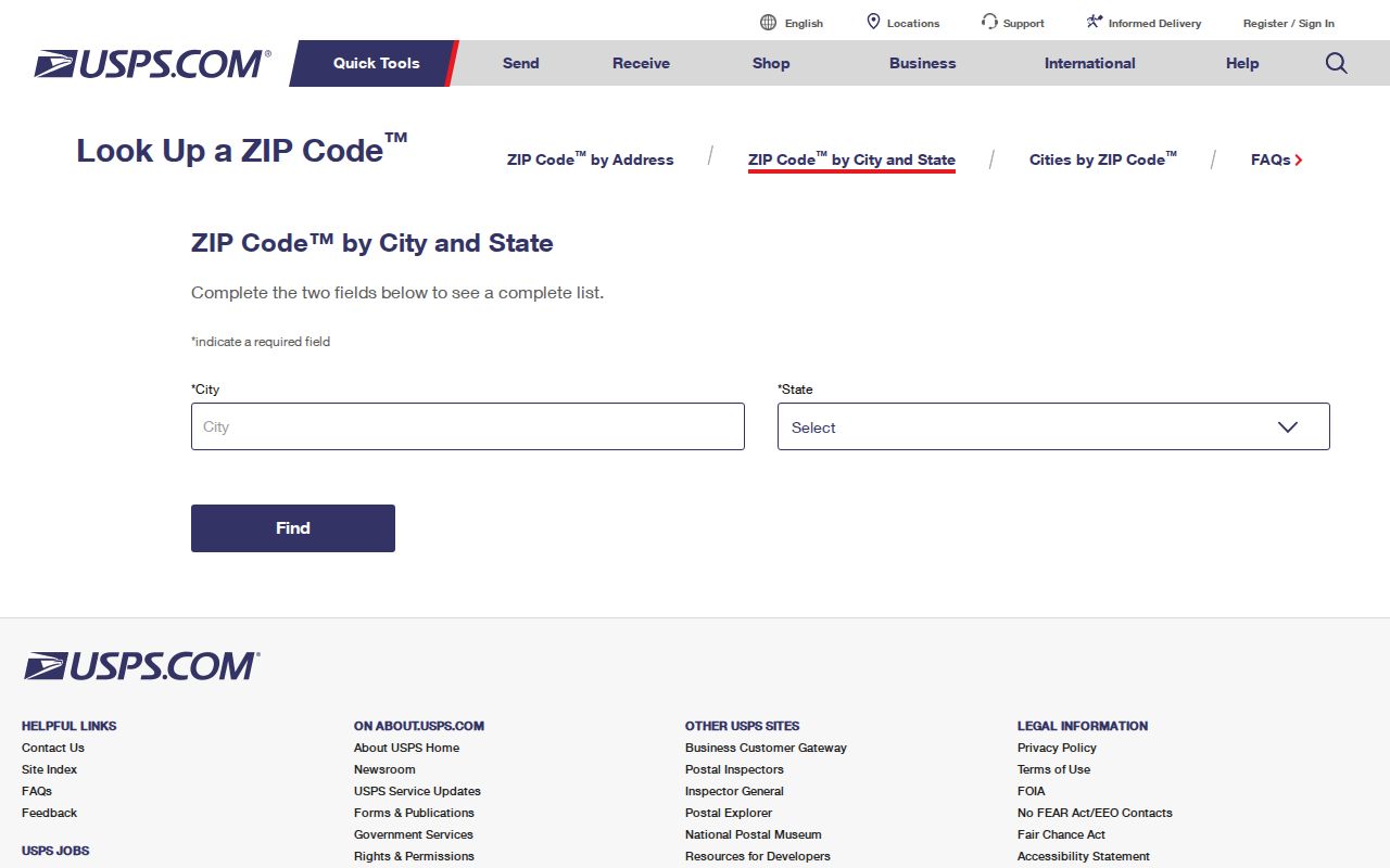
Once USPS confirms delivery, county parcel records supply the separate land and custodian information that a postal result cannot provide.
ZIP Code Searches in Huber Heights
Only one captured public portal accepts a ZIP field: the Ohio Department of Rehabilitation and Correction Offender Search. Its field is limited to selected supervision statuses and returns a last recorded address. It covers people in an Ohio prison, under Department supervision, judicially released, or listed as violators at large. It is not a Huber Heights geographic directory and cannot establish current presence at an address.
| ODRC field | Scope | Important limit |
|---|---|---|
| ZIP | Filters only APA Supervision or Violators at Large selections | Returns a last recorded address, not a current location. |
| Status | All, Incarcerated, Released, APA Supervision, or Violators at Large | The chosen status changes whether the ZIP filter applies. |
| Residential County | County selection for the portal's covered population | It is not a complete county resident list. |
| Name and offender number | Additional identification routes | A result is limited to the corrections or supervision context. |
MCRealEstate documents street-address searching, not a ZIP roster. The Treasurer accepts owner, parcel, or address routes, and Ohio's voter tool uses a specific name plus county. None should be described as a postal-area list of residents.
When the ODRC result is relevant to a lawful, specific question, retain its status and search date with the result. A last recorded address in a corrections context does not replace the current parcel, voter, or court custodian for a Huber Heights address question.
Note: A ZIP field changes the scope only within the corrections system; it does not create a Huber Heights resident list.
Huber Heights ZIP to County Routes
After postal verification, determine whether the land is in Montgomery or Miami County. Montgomery's MCRealEstate and the Treasurer route use a street number plus bare street name, omitting the direction and suffix. The Montgomery Auditor GIS can then help check parcel geometry, legal-description clues, and map context. Its parcel display must still be confirmed through the Auditor and Recorder for ownership or deed proof.
For a Montgomery Treasurer search, the documented parcel format begins with a capital letter, with A01 00107 0001 supplied as an example. The parcel page may distinguish the situs, deeded-owner or taxpayer mailing address, and legal description. Those are separate fields with separate meanings, so keep the legal description when the postal label and county route appear to conflict.
Miami-side work starts through the Miami Auditor tax-map route and the Miami Recorder's AVA or Laredo tools. The Recorder documents name and image access from 1998 forward, book-and-page access for 1980 through 1998, and older scanned geographic, name, and Green Abstract indexes that need verification. Some deeds do not carry an address or parcel number, so the legal description and historic index material are essential links in the chain.
The county GIS information page supplies the next property-research step after a postal result.
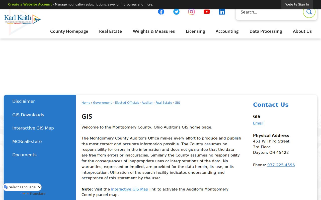
A parcel map confirms land context, while the Auditor and Recorder provide the county record trail behind it.
Huber Heights ZIP Code Boundaries
Postal delivery boundaries do not match City limits, county lines, or parcel situs. The Huber Heights and Tipp City distinction is the local example: an address may be municipally Huber Heights, receive a Tipp City label, and still require Miami County land records. Conversely, a nearby mailing label does not establish that a property is inside that municipality. Where the labels conflict, use the parcel legal description and county tax map as the property-research tie-breaker.
- ZIP
- A USPS delivery-route designation used to sort and route mail.
- ZIP+4
- An added four digits that refine delivery sorting within a ZIP area.
- PO-box ZIP
- A delivery designation for post-office boxes; no Huber Heights PO-box designation is asserted here.
- Unique ZIP
- A designation assigned to one high-volume organization; none is asserted here for Huber Heights.
- Carrier route
- A mail-delivery sequence within a postal area, not a city or county boundary.
For municipal permits and Council material, use the City address. For property ownership, tax, or deed questions, follow the county parcel and Recorder trail.
Historic Huber Heights Postal Clues
ZIP is a weak key for older research. Deed books, city directories, census records, early plats, and newspapers may predate modern postal coding or use Wayne Township, a rural route, a subdivision name, or a different mailing city. Huber Heights was Wayne Township before incorporation in 1981, and the City Charter took effect January 1, 1984. A negative search under the modern city name should be retried with that earlier locality name and the known lot, block, cross street, or legal description.
No official citywide postal realignment year was found. Rather than assigning a boundary date, retain each historical spelling and translate it through the parcel and legal-description trail. The Huber Heights street directory has the full address-first property and deed sequence.
Huber Heights ZIP Directory Limits
The Huber Heights ZIP code directory can verify mail delivery and help select the right county research route. It cannot produce a complete list of people in a postal area. Postal results do not identify residents, property owners, voter precincts, court divisions, or all current occupants. The principal property, tax, and voter portals documented for this City do not have a ZIP-wide resident filter.
Use a full address to verify delivery, then request or search only the record type needed for a lawful purpose. County offices, the City, and USPS each hold a different layer of information, and their results should not be merged into a household roster.
Note: Preserve the parcel identifier and legal description with the returned delivery label so later county research can be repeated accurately.