
Huber Heights Previous Resident Sources
Previous residents leave different kinds of trails at different times. A Montgomery County deed can establish a recorded transfer, not every person who lived in a house. Tax material can connect the parcel to a later ownership layer. A directory or census entry may instead place a named household at an address during a particular publication or enumeration period. For a northern Huber Heights parcel, use Miami County records from the start. The municipal name alone does not decide the custodian.
Use the table as an era map rather than a promise of a complete listing. The Recorder and Dayton Room have in-person and archive paths for material that is not fully searchable online. Exact Huber Heights criss-cross years were not published in the catalog material, so staff confirmation is part of a careful address history.
| Source | Supported years | Where held | What it shows |
|---|---|---|---|
| Montgomery deeds | 1805-present | Recorder, Records Center, RISS | Transfer parties, date, instrument, legal description |
| Montgomery tax layer | 1984-present | Auditor and Treasurer | Parcel and owner or taxpayer evidence |
| Miami Recorder route | 1998-present name/image; 1980-1998 book/page | AVA/Laredo and Recorder | Miami-side recorded documents |
| Federal census | Through 1950 public | Library and federal research sources | Dated household snapshot |
| HOBITS citations | Listed noncontinuous runs, 1850-present | Dayton Metro Library | Obituary or death-notice lead |
Huber Heights Deed Trail from 1805
For a Montgomery-side address, begin with MCRealEstate or the Auditor map to identify the parcel and current deeded owner. The county property guide places deeds from 1805 to the present with the Montgomery County Recorder. RISS offers no-cost guest access after its disclaimer, but a good result still needs a date, instrument reference, and matching legal description before it belongs in the same property history.
The index is strongest when the search shifts from current grantee to prior grantor. A party can hold several properties, and a street address can change or be absent from an older instrument. Compare the lot, block, subdivision, section, township, range, or other legal description at every turn. Records Center staff and Recorder research channels remain the fallback when a web result does not resolve the older link.
A Montgomery County Recorder overview explains the office's online records and archive routes. The page shown below is the Recorder's public entry point. It helps separate a searchable index from the fuller research and copy paths kept by the office.
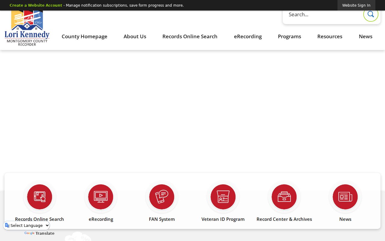
Recorder access is a title-history layer. It establishes document parties and dated transfers, not an unbroken list of all past occupants.
Follow Huber Heights Past Owners
A prior-owner search works backward from a known parcel, not forward from a surname alone. First establish whether the site is in Montgomery or Miami County. Then save the parcel identifier and legal description before opening the recorder index. This prevents a same-name grantor or a similarly named subdivision from pulling the search onto another piece of land.
- Locate the current parcel through the appropriate Auditor record and copy its legal description.
- Search the current deeded owner as a grantee in the recorder index and open the acquisition record.
- Record the seller, recording date, instrument reference, lot or subdivision clues, and page or image details.
- Search that seller as a grantee, then repeat while the legal description remains the same.
- Move to the Recorder counter, Records Center, or historic index books when the online path ends or the description changes.
- Grantor and grantee
- The grantor transfers an interest. The grantee receives it in the recorded document.
- Chain of title
- A dated sequence of recorded transfers for the same land, checked through the legal description.
- Legal description
- The land identifier in the deed, such as a lot, block, subdivision, or survey reference. It is often more stable than a street label.
RISS offers a legal-description route with a Properties choice that includes HUBER HEIGHTS. Its public name search also supports last or firm name, index type, optional first name, match options, side choices, date range, and sort. The legal description and document date should carry more weight than a loose name match.
Miami County Past Resident Routes
Carriage Trails and other northern city land can require a different history. The Miami County Recorder describes name and image access from 1998 forward and book-page access from 1980 through 1998. Some instruments lack a parcel number or street address, which is why a party name, book and page, geographic index, or Green Abstract index can be necessary.
For the earliest records through 1980, Miami County instructs researchers to cross-check Laredo results against scanned written index books. The office says name books are only partly scanned and notes a 1917-1920 gap. A failed address search is therefore not proof that no document exists. It may simply mean that the record must be bridged with the legal description and older index material.
The Recorder's fiche-search route illustrates how an older document index can be structured. Keep the result reference, legal-description text, parties, filing date, image link, and page count together before adding it to a Huber Heights address timeline.
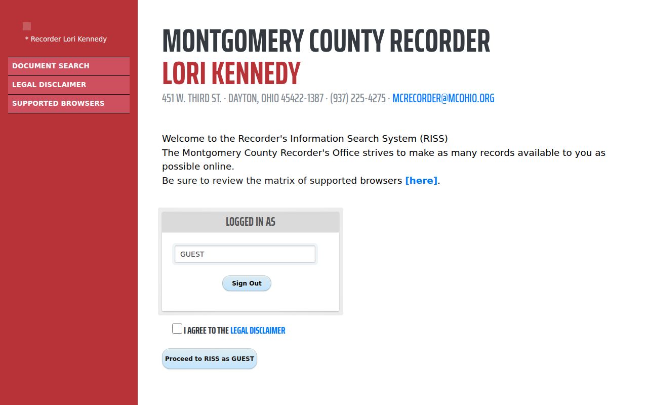
Older index tools supply document leads. They still require the same parcel and legal-description checks used for newer deeds.
Huber Heights Address Era Map
Before incorporation in 1981, Huber Heights research often belongs under Wayne Township. The City Charter became effective in 1984. That naming change matters when an old directory, atlas, tax record, or newspaper search returns nothing under the modern city name. Preserve the subdivision, side of I-70, county, lot, and legal description while trying Wayne Township and the relevant Miami Valley directory route.
The time layers do not begin together. Montgomery deeds reach 1805, the county guide gives the Auditor tax layer from 1984, and Dayton Metro Library holds will material from 1805 through 1910. Federal census entries are public through 1950. A property's first online result is not its first historical appearance, so date each claim according to the source that made it.
For a visual example of the county's archival route, see the Montgomery County Records Center & Archives page below. Its reading-room and request process are useful when online indexes do not reach the needed record group.
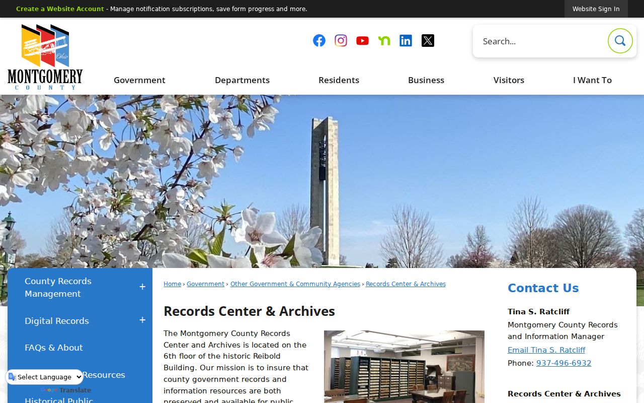
The archive is a source-specific fallback. Give staff an approximate year, address or legal description, department, and known reference rather than asking for a broad name search.
Huber Heights Directories Between Deeds
Deeds trace the land interest. Directories, census schedules, and notices can add the household layer between transfers. The Dayton Room has city directories, maps, newspapers, microfilm scanners, local-history specialists, and genealogy material. Ask staff for volumes filed under Huber Heights, Wayne Township, Miami Villa, or the appropriate Dayton and Miami Valley route. A reverse or criss-cross volume can begin from an address, but its exact local coverage must be verified at the shelf.
Pair a directory issue with the nearest public census year, then compare the address spelling against the parcel history. A printed entry dates a publisher's listing, not a move day. The full historical collection context is on the Huber Heights city directories page, while this address trail keeps the focus on placing those entries in a single property's timeline.
Dayton Remembers' 1875 Montgomery County atlas contains Wayne Township material and a City Directory and Township Personals section. Read the scan, not just its OCR, then record the exact page and spelling before using it as an early lead.
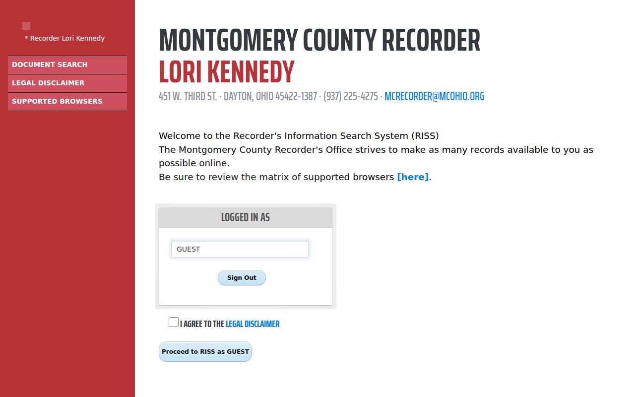
A legal-description search is the bridge between a historical address clue and a recorded parcel trail when street terms alone are not enough.
Huber Heights Obituary and Probate Ends
When an address trail reaches a death or estate transition, the HOBITS obituary and genealogy index can locate a citation rather than the full notice. Its listed date bands range from 1850 to the present with gaps, and Dayton Metro Library asks for no more than three citation-copy requests at a time. A citation is a lead to request and read in context, not proof of residence or relationship by itself.
Public probate files may supply an estate, fiduciary, or heir trail where accessible. Montgomery Probate keeps a separate case-search entry point; confidential proceedings remain outside a general address search. A transfer-on-death or survivorship document can explain why the title chain shifts without an ordinary sale deed, but the recorded instrument and court material need to be read together.
Use the County's record retrieval procedures when a historical government file has to be requested from storage. The published procedures show why a narrow request with a reference number is more productive than a generic past-resident query.
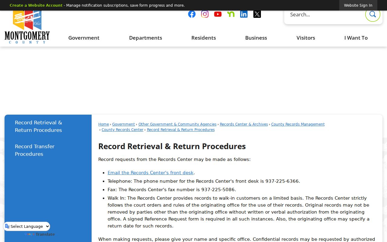
Retrieval systems handle record groups, not private profiles. The record custodian decides what is public and what can be copied.
Huber Heights Past Household Limits
Previous residents and past owners are not interchangeable. A deed may show an individual, estate, trust, or company. A tax mailing address may point to correspondence rather than occupancy. Directories and census material can place people at an address for a stated time, but their spelling, editorial date, and coverage need corroboration. Utility accounts, DMV data, and private household information are not substitutes for this public-record trail.
Ohio confidentiality rules also matter. Safe at Home participants can have confidential voter records, and court, adoption, health, and protected-address material can be withheld or redacted. An absent name is only an absent result in the public source searched. It should never be used to infer a hidden address or to claim that a person was not present.
Lawful use. Huber Heights previous-resident research supports house history, family history, estate questions, and personal curiosity. Do not use a record trail to track, stalk, harass, intimidate, or harm any living person.