
Huber Heights Neighbor Records by Block
Public sources describe a Huber Heights block in layers. The county GIS map draws the parcels. The property card adds a deeded-owner or taxpayer connection. Recorder documents can date ownership changes. City permit records can describe a project at an address. Those are useful records for understanding land and local history, but they are not a census of neighbors or a reliable way to identify renters, household members, utility customers, or protected residents.
First determine the situs county. Most city addresses use Montgomery County systems, but northern Huber Heights land, including parts of the Carriage Trails area, can fall in Miami County. A Tipp City mailing label does not settle the question. The county parcel or tax map and legal description are better records for choosing the appropriate Auditor and Recorder.
| Source | Block information | Access path |
|---|---|---|
| County GIS and Auditor | Parcel boundaries, adjacent parcel IDs, owner or tax fields | Interactive map plus property record |
| County Recorder | Dated transfer parties and legal descriptions | Index, counter, or archive route |
| City zoning and permits | Address-specific zoning, work, code, or development context | Published reports or a focused request |
| Ohio voter information | A selected registrant's public result, subject to exclusions | Name plus county form |
| Neighborhood Watch | Police-beat map and contact for a voluntary program | City program page |
Huber Heights Parcel-First Neighbor Method
The Montgomery County GIS is the best starting point for an immediate block view. Center one known parcel, inspect the parcels that actually share a boundary or lie directly across the roadway, then open the relevant county property record. Do not call every nearby map polygon a neighbor without checking whether it is a road, common area, or separate tract. The map provides location context, not proof of current ownership by itself.
- Confirm the full address and identify its situs county through the parcel map or legal description.
- Center the target parcel in GIS and note its parcel ID, boundaries, and nearby parcel IDs.
- Open the Auditor record for each relevant parcel to review the deeded-owner or taxpayer field and land description.
- Use the Recorder only when a dated ownership question needs a document trail, matching the same legal land clues.
- Switch to the Huber Heights by-street page when the question concerns a full named street rather than the immediate block.
Montgomery GIS has verified address, zone, street-intersection, buffer-distance, selection, measurement, and export tools. The same city label can instead require Miami County's tax-map and Recorder systems. Preserve the county, subdivision, legal description, and search date in a note, especially around newer northern development.
Huber Heights Parcels Need County Checks
Huber Heights has a records boundary inside its city limits. Montgomery County's MCRealEstate property search and Recorder RISS are appropriate for most established addresses. For a Miami-side parcel, the Miami County Auditor and Recorder must be used instead. Miami Recorder's online instructions say name and image work begins in 1998, book-page searching covers 1980 through 1998, and earlier history relies on scanned geographic, name, and Green Abstract indexes.
That distinction changes a neighbor inquiry. A recorded owner, trust, estate, or company may have a mailing address unlike the parcel situs. A document can lack an address or parcel number. Match a transfer to the actual lot, block, subdivision, or legal description before treating it as a nearby property. The GIS map and Auditor card help set that geographic anchor; the Recorder supplies the dated document layer. Miami County's 2024 plan describes roughly 296 acres annexed to Huber Heights in Bethel Township, a reminder that new city development can still require Miami County parcel research.
- Parcel
- A mapped unit of land with a county identifier used for tax and property administration.
- Situs
- The physical location of the land. It can differ from an owner's mailing address.
- Legal description
- The lot, block, subdivision, survey, or other deed language that identifies land more precisely than a street label.
- Buffer
- A GIS distance area used to inspect nearby map features. It does not define a social neighborhood.
Huber Heights Neighborhood Watch Contact
The City publishes a Neighborhood Watch program with five current police-beat maps. Active groups are organized by beat, and Officer Drew Olinger is the City contact for forming or joining a group at 937-237-3567. This is a route for voluntary community participation and local safety discussion. It is not a member directory and does not authorize a search for people at nearby addresses.
No official citywide HOA, neighborhood-association, or member-directory inventory was found in the research. Specific development or association names can appear in City zoning or Council records, but membership lists may be private. Contact the particular association or use City communications when a public civic contact is needed.
| Huber Heights Neighborhood Watch | Police-beat maps and contact for forming or joining a voluntary group |
|---|---|
| City Council and AgendaQuick | Public meetings and project records, not a household directory |
| HOA or neighborhood association | No official citywide membership inventory located; ask the specific organization |
The City program page shown here directs residents to the beat-map and contact route. It supplies a community connection without implying that participant names are public.
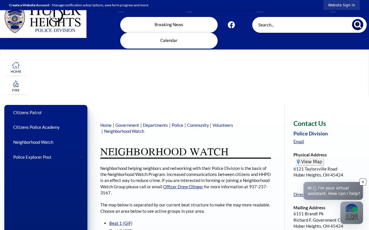
Beat maps explain the program's service geography. They do not identify the neighbors who take part in a watch group.
Huber Heights Voter Results Stay Narrow
Ohio's My Voter Information form is a person-confirmation tool, not an address-first neighbor browser. It requires first name, last name, and county. After an initial query, a street-name selector may help narrow matches. A public detail result can contain registration address, year of birth, party, precinct, polling place, districts, and participation history, but it does not disclose ballot choices.
R.C. 3503.13 excludes sensitive fields such as Social Security numbers, driver or state-ID numbers, phone numbers, email, protected worker addresses, proof-of-citizenship material, and confidential voter records. Safe at Home participants can be absent from public voter versions. A nonmatch may reflect the wrong county, a name history, an old address, or confidentiality. It is never a reason to reconstruct an address from nearby parcels.
Ohio's voter-record statute is the primary source for the public and confidential boundaries. Its published text is the appropriate check before making any request through the relevant county Board of Elections.
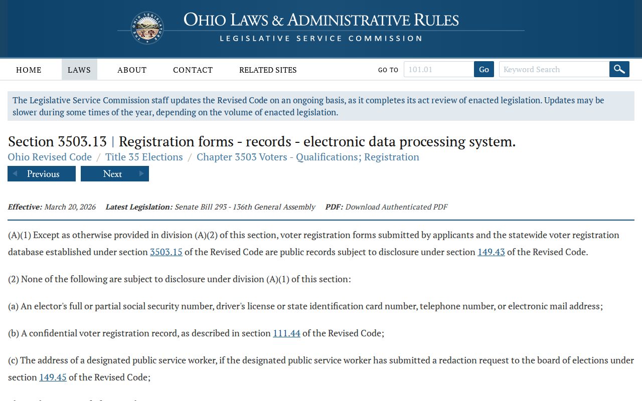
The statute frames access as public records with specific exclusions. It does not turn the public voter form into a complete block list.
Official and Commercial Neighbor Tools
Official property and civic records identify their custodian, date, and limit. They may show a parcel edge, a recorded transfer, a permit, or a selected voter result. Commercial neighbor-search categories combine data from many sources, can merge same-name people, can lag behind changes, and cannot make confidential information public. Treat a result from either category as a lead that needs source and date checks.
| Official source | Commercial category | Safer reading |
|---|---|---|
| County parcel or Recorder record | Compiled neighbor result | Verify parcel, date, legal description, and custodian |
| City civic or watch contact | Public-facing contact list | Do not assume household membership or participation |
| Named voter query | Address-based name claim | Honor exclusions and confirm through independent public facts |
For a suspected deed problem, the Recorder's Fraud Alert Notification service can notify an owner when a document is recorded. It is a document-notice tool, not evidence that a nearby parcel is involved in fraud.
Huber Heights Safety Records Are Not Neighbor Lists
County custody and corrections portals have narrow purposes. The Montgomery County in-custody portal supports first-name, last-name, and alphabetical browsing and says it updates every 30 minutes. The captured research did not verify its detail fields because results were CAPTCHA-gated. A custody result is not a current-home finding, and it should never be used to target a neighbor.
Likewise, the statewide corrections search can show prison or supervision information within its limits, but a residential ZIP filter may represent only a last recorded address for some supervision statuses. For a local incident or records question, use the proper Sheriff or City Police request channel and respect redactions, victim privacy, and active-investigation limits.
The county portal appears below because it is an official, limited-purpose lookup assigned to this topic. Its search screen should be read as a custody status channel rather than a source for identifying Huber Heights neighbors.
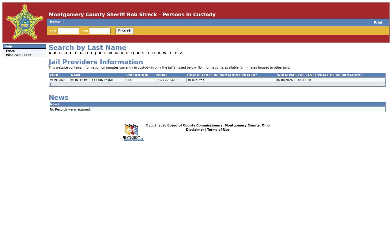
Official status tools have defined scope. They cannot supply a reliable roster of people living around an address.
Huber Heights Neighbor Privacy Limits
The records around a block do not expose every resident. Renters, household members, utility customers, delivery accounts, motor-vehicle data, Safe at Home participants, and many court or health records have privacy limits. An owner or taxpayer name is a property-record connection. It should not be recast as a claim that the person lives at the property now.
Ohio's Safe at Home Address Confidentiality Program provides qualifying participants with a substitute address and confidential voter treatment. Public-record access also has statutory exceptions, and courts remove or redact protected material. Respect those boundaries even when adjacent-parcel research suggests an address pattern.
Lawful use. Huber Heights neighbor research can support property curiosity, civic participation, and voluntary community contact. Do not use public records or address clues to watch, stalk, harass, intimidate, or harm anyone.